Overview
In July 2021 Project Baseline UK divers organised the group’s first collaborative mission. GUE and PB divers from across the UK came together for 5 days of citizen science in the beautiful North East town of Eyemouth. The aim of the project was to conduct habitat surveys in the Berwickshire Marine Protected Areas to ground truth the state of the marine environment. This baselining effort is in support of ambitions to create more sustainable fisheries in the Eyemouth and Berwickshire regions.
The divers worked in collaboration with the conservation organisation the Blue Marine Foundation and were provided with fantastic logistical support from Marine Quest. With additional funding from the British Sub-Aqua Jubilee Trust the team of 8 capable divers conducted over 20 individual dives and surveyed in excess of 2,000m of seabed. Initial analysis of this data was conducted by PBUK divers through Seasearch forms and the entirety of the video survey data has been sent to Plymouth University for further analysis.
Location
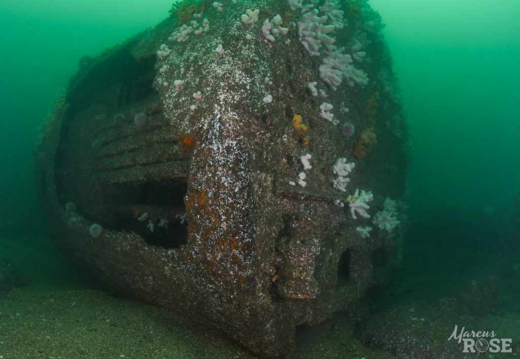
The town of Eyemouth is situated on the North East coast of the UK within the county of Berwickshire. The surrounding seas are afforded protection from 3 different protected areas, each with different restrictions on activity. The Berwickshire Marine Protected Area is a voluntary marine reserve, with visitor guidelines provided to help protect the many marine species within it. There is also an area where bottom trawling is banned, albeit the enforcement of the restrictions in both is not well enforced. Project Baseline UK divers targeted sites within the protected areas for their surveys where previous towed video surveys could not reach, owing to the presence of wrecks or rocky pinnacles.
The specific sites were selected by the Blue Marine Foundation with the aim of filling in the gaps in previous survey work. With deep water close to shore the dive team were able to make deeper dives in the morning and survey shallow reefs closer to shore in the afternoon.
Surveys
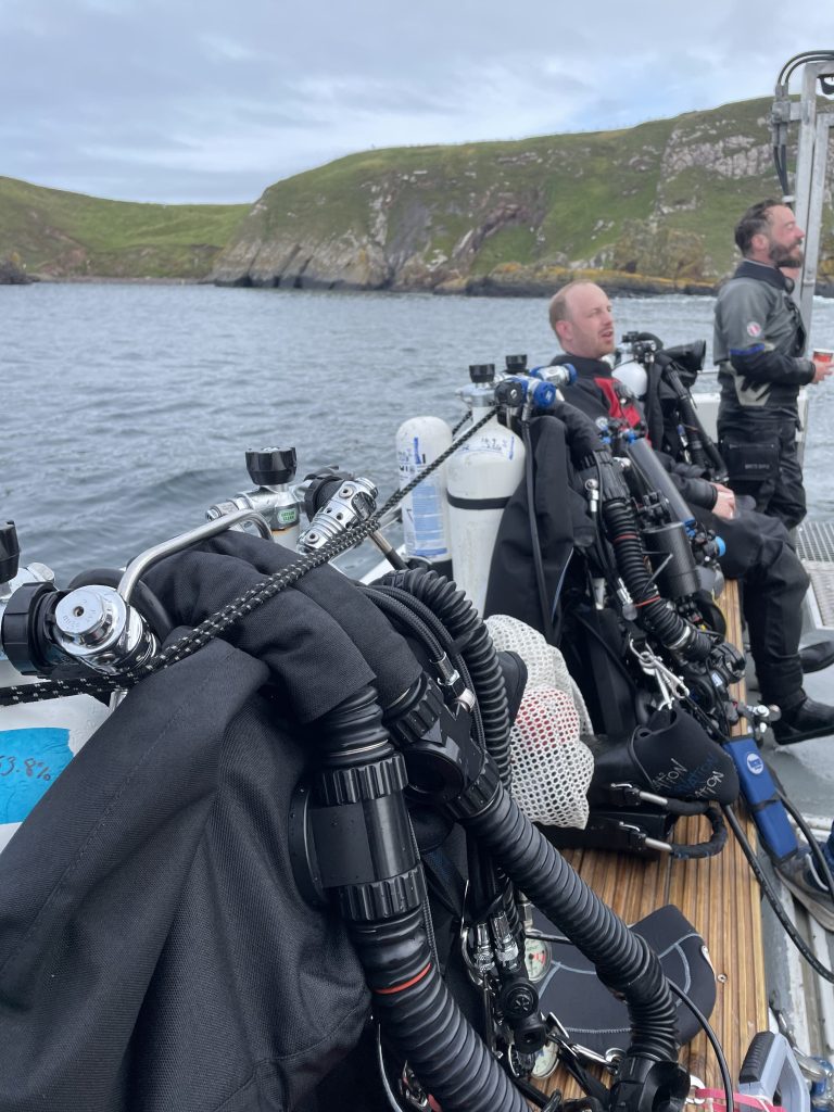
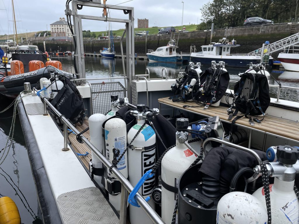
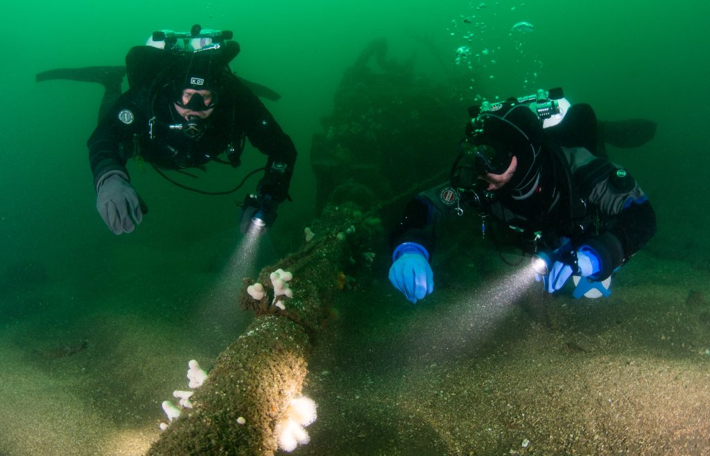
The dive teams made use of high tech video equipment and diver propulsion vehicles (DPVs) to conduct video transects of the dive sites. Initial analysis of the video data was conducted by Project Baseline divers, using the standard reporting format offered by Seasearch to ensure the data was formally captured. Seasearch is a citizen science initiative that offers basic training to divers, in habitat survey, species identification and the submission of data in a standard format. The video transects will also be sent to the University of Plymouth for more detailed analysis.
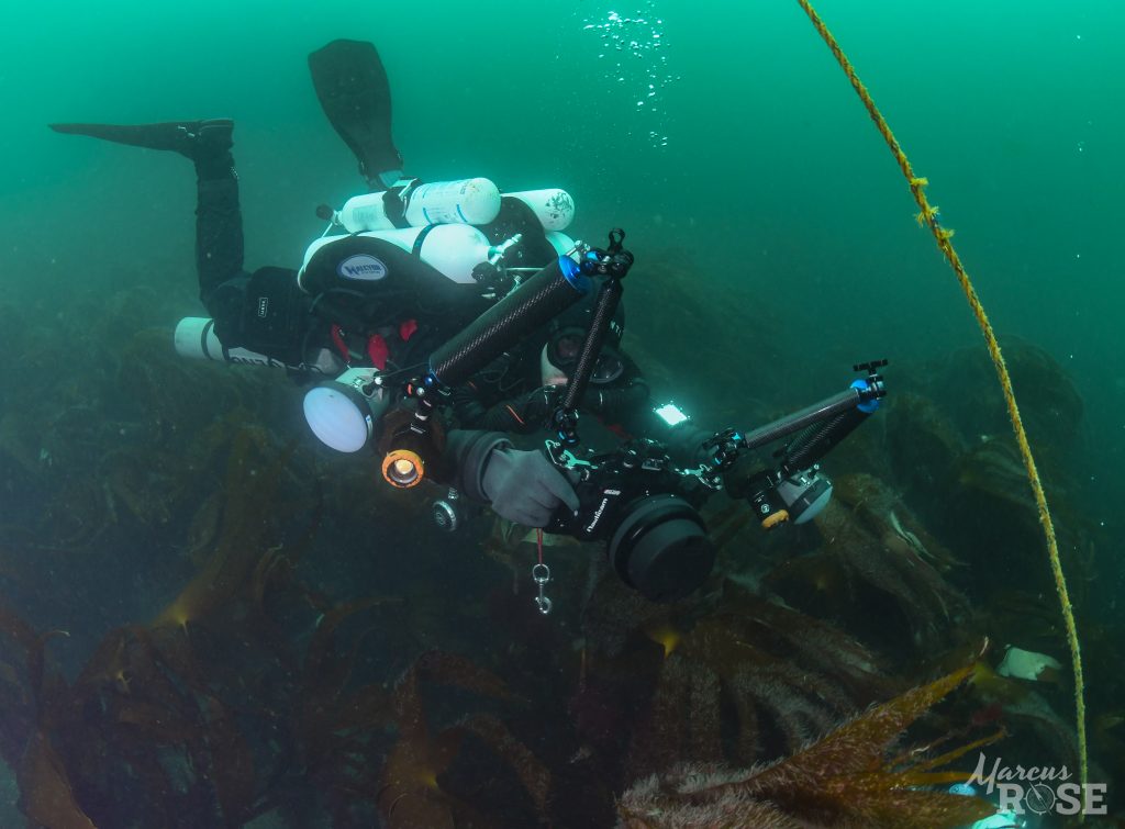
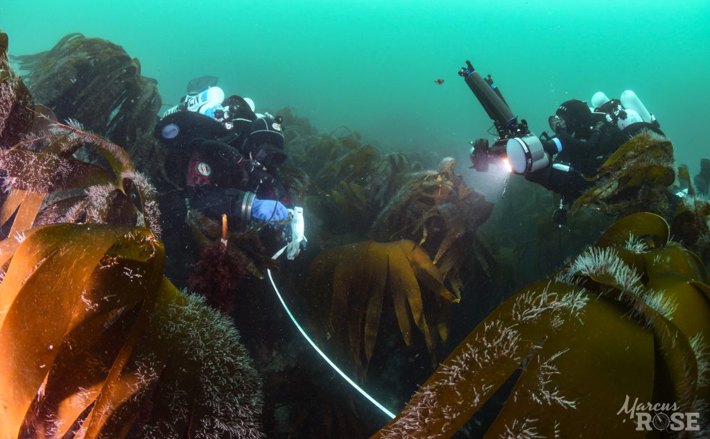
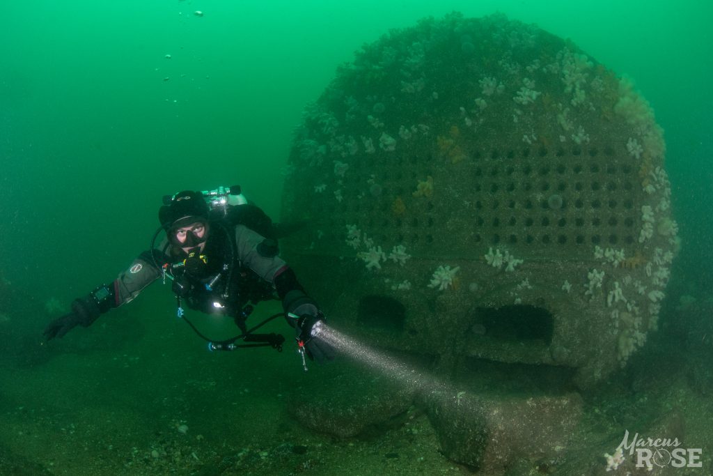
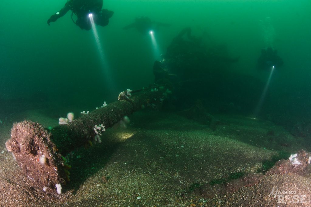
The key data collection technique used during the project was diver collected video transects. To ensure the surveys can be repeated in future years divers commenced their surveys from prominent features, these were generally features of wrecks, such as the bow, stern or boilers.
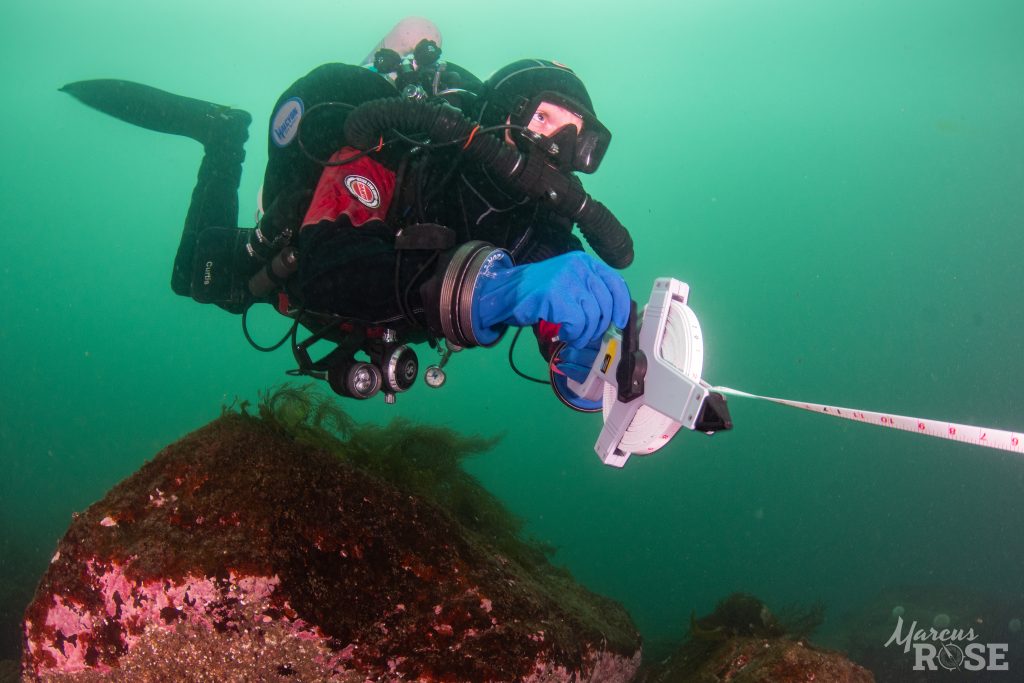
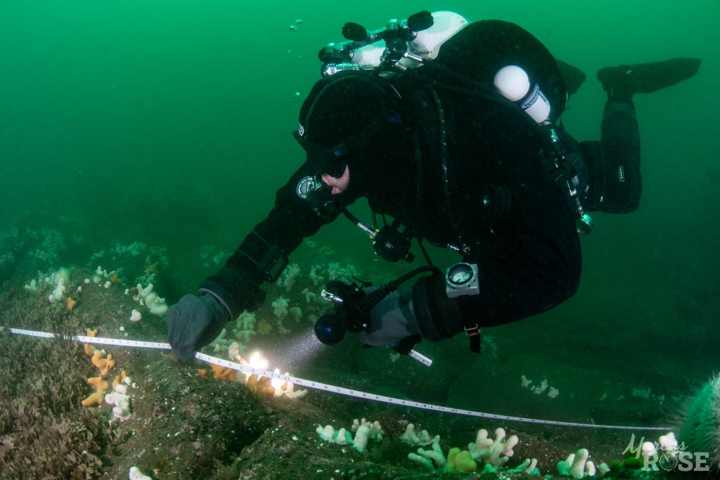
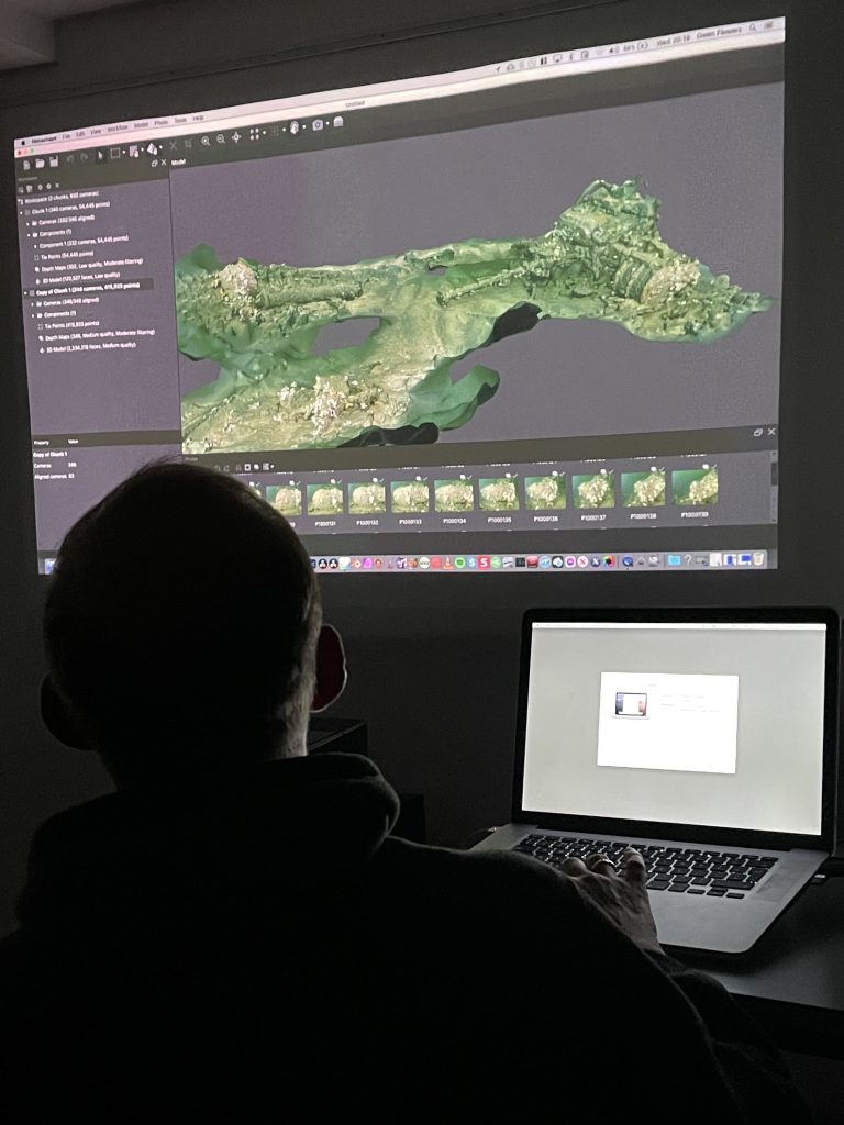
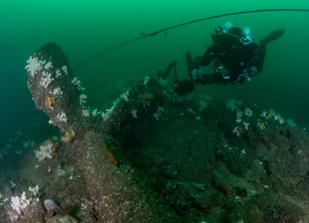
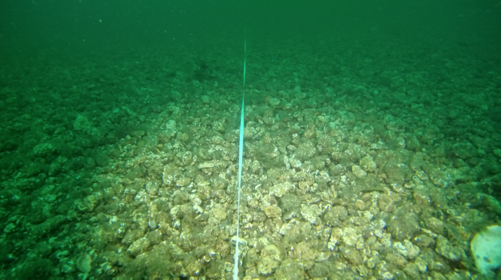
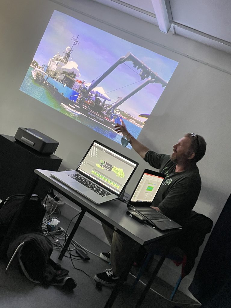
From these points a compass bearing was taken and tape measures were used to lay 50m transect lines. The team then swam back along the laid tape using video cameras to capture the state of the seabed. In addition to these more precise surveys, a team used DPVs on each site to collect wide area survey data by attaching cameras to the DPV. Whilst less accurate in terms of repeatability, this approach allowed a larger area to be covered, complimenting the smaller scale but more precise transects. The team also made use of photogrammetry techniques to provide easily presentable versions of the video transects. These allow the state of the sea bed to be shown to the general public, without the need to show hours of video footage.
Some areas were full of life…

Whilst some were clearly adversely affected by bottom trawling techniques…
Raising awareness
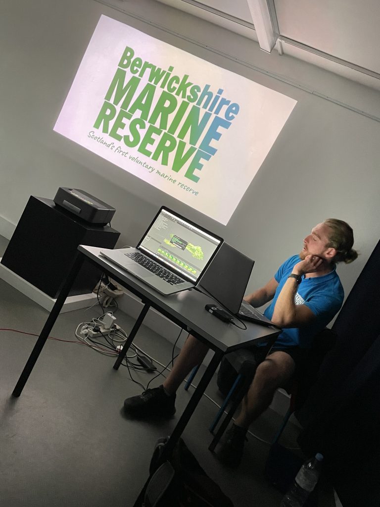
We also used the project to raise awareness of Project Baseline, the Berwickshire protected areas and the environmental challenges the local area faces.
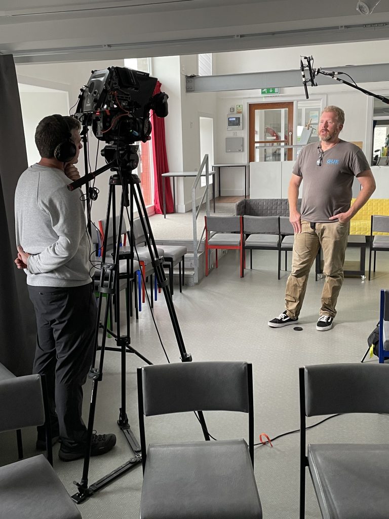
We held an evening of talks where Project Baseline, the Berwickshire Marine Reserve, The Blue Marine Foundation and the St Abbs Marine Station shared their local conservation efforts.
Dive data
The images / videos below show the 3 main types of data collected during the collaboration. The Seaserch forms are completed by suitably trained dive team members using the transect video collected. The videos have also been sent to the University of Plymouth for detailed analysis. The photogrammetry images are still versions of the interactive 3D models created. The combination of data types allows PB divers to contribute to scientific research efforts in the Berwickshire area whilst also using the more digestible media types to show the general public the state of the oceans in the region.
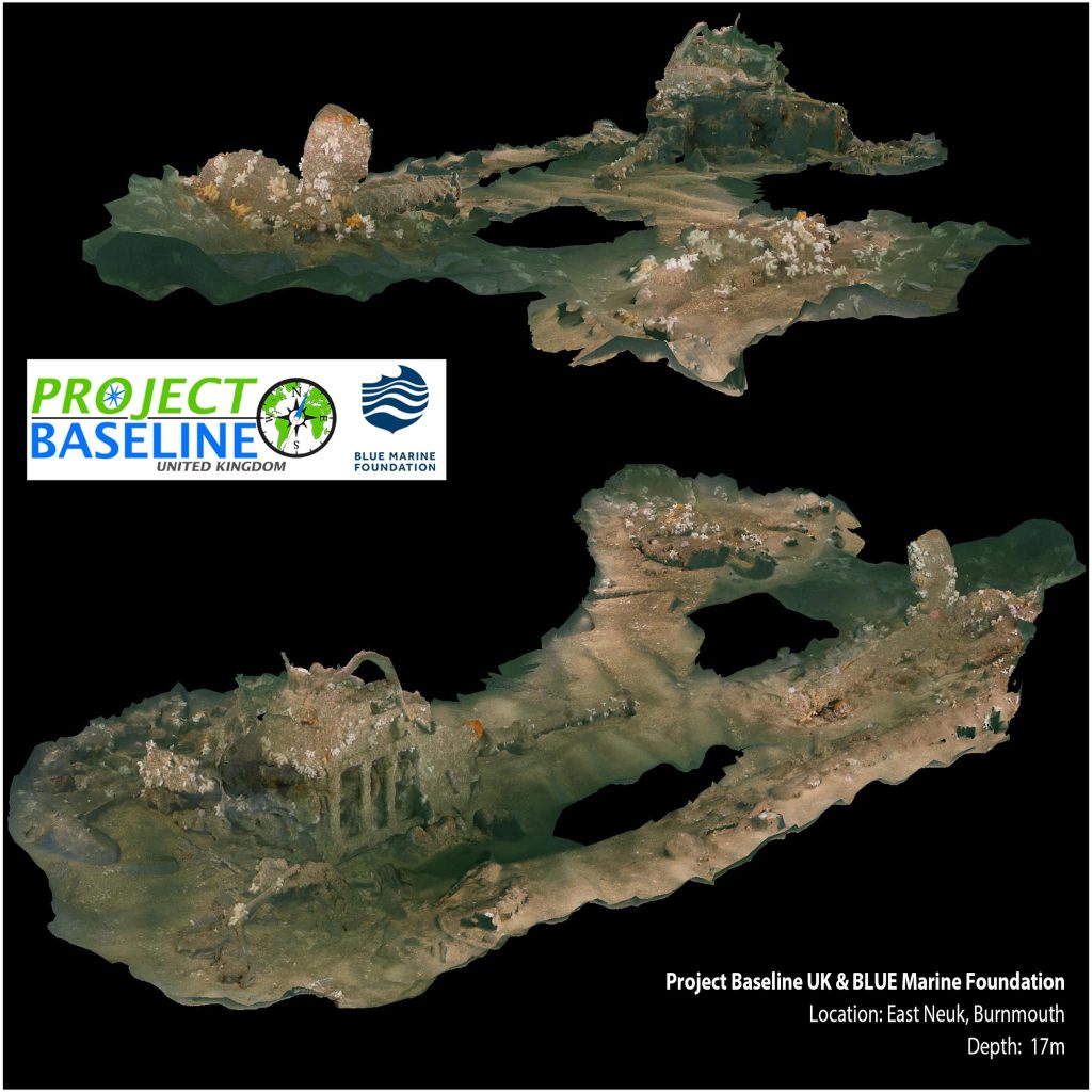
East Neuk Photogram 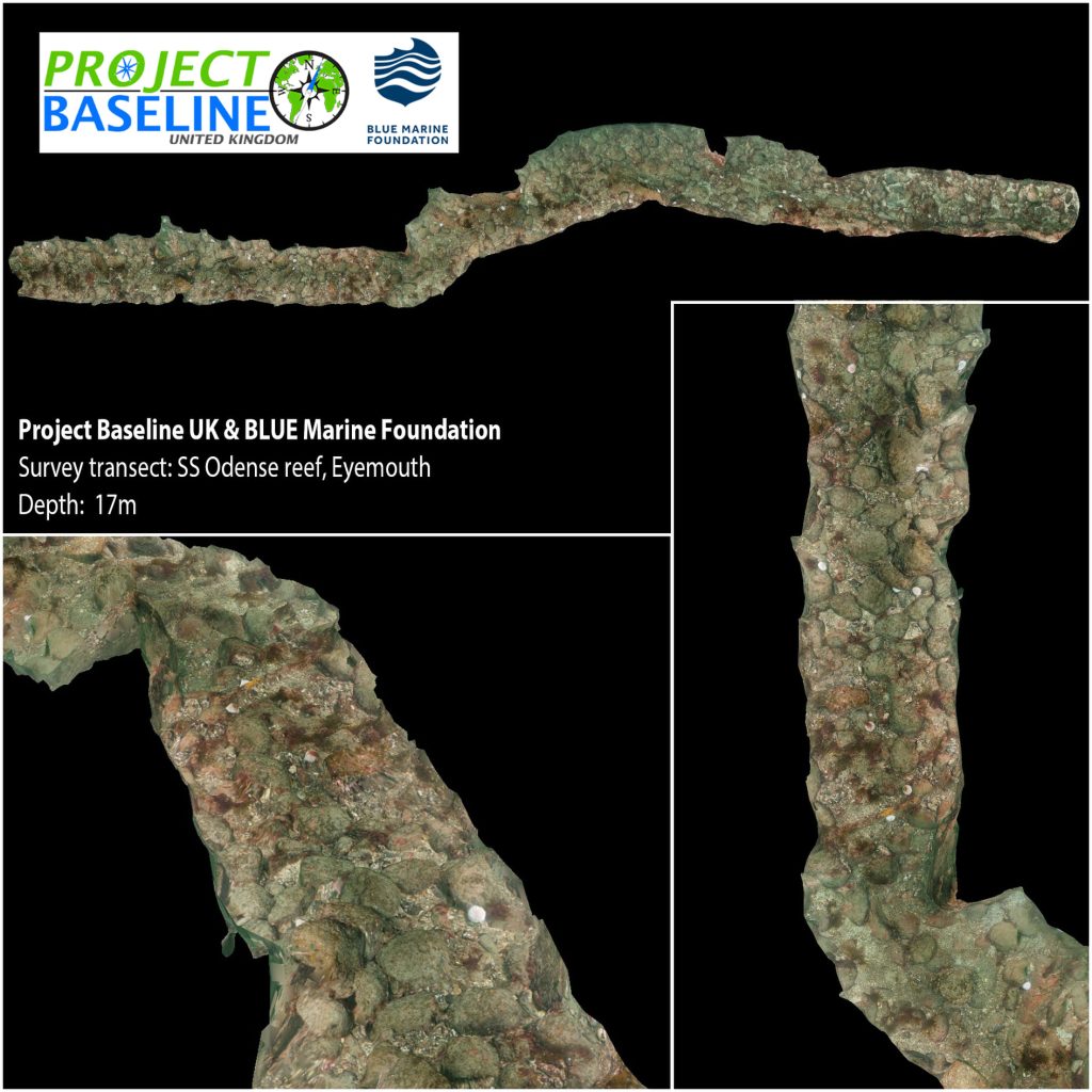
Video Transect Photogram 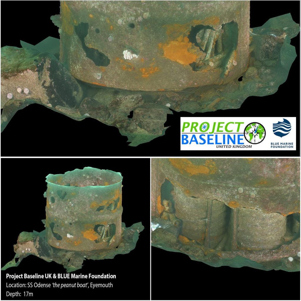
Odense Photogram
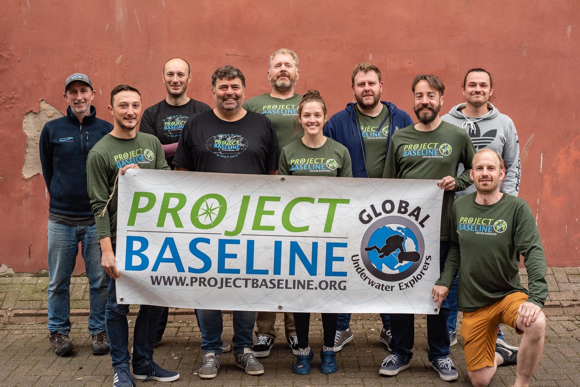
The Dive Team
The dive team on the collaboration consisted of 3 open circuit divers and 5 CCR divers. The divers had varying levels of project experience, from one with a Marine Biology PhD to divers brand new to project diving. This project showed the benefit of well trained divers to scientific and conservation bodies and the accessibility of such diving to both experienced and newer divers.