INTRO
Following on from Project Baseline UK’s first collaborative mission in July 2021, we have once again assembled a team of Project Baseline UK and GUE divers for the second year running in the sunny seaside town of Eyemouth. The aims this year were to repeat and expand on last year’s data collection in conjunction with the Blue Marine Foundation and the University of Plymouth. The mission was to conduct five days of citizen science, focusing on habitat surveys in the Berwickshire marine protected waters. The surveys are in aid of the Blue Marine Foundation’s mission to see at least 30 percent of the world’s ocean under effective protection by 2030 and the other 70 percent managed in a responsible way. BLUE is a conservation charity and is filling a niche in the Non-Government Organisation space by enabling marine conservation to happen fast and effectively. BLUE is looking to achieve this goal in several ways, including securing new marine protected areas, developing models of sustainable fishing, restoring marine habitats and by connecting people with the sea.
This year the team consisted of 9 divers and we were lucky enough to receive additional funding from Sea-changers and the Arnold Clarke Community Fund to aid with our collaborative efforts with BLUE and the universities. Marine Quest provided us with our accommodation for the week, alongside providing us with their unrivalled diving charter service, without which we simply wouldn’t have achieved the goals of the event. The team carried out over 30 individual dives and managed to survey in excess of 2.5km of seabed and wreck sites. In addition, team members also managed to collect sediment samples to aid research for the Dive for Antibiotics (DFA) project in conjunction with Strathclyde University and micro plastics research being conducted at Chester University.
LOCATION
Eyemouth is a small historic town located on the southeast coast of Scotland. In past times the town had a rich culture of agriculture and fishing. Although this isn’t as active as previous generations, the harbour is still bustling with activities from its commercial fishing fleet. The surrounding seas are categorised into 3 different protection zones, each with different restrictions on activity. Closest to shore there is the Berwickshire Marine Reserve (BMR) which is a voluntary marine reserve stretching from St Abbs to Eyemouth. The outer edge of the reserve is marked by the 50m depth contour and is the only one of its kind in Scotland. The purpose of this voluntary marine reserve is to conserve the biodiversity of the costal waters, raise awareness of the marine environment and to promote responsible recreational use alongside a sustainable fishery to the mutual benefit of all. We then have a static gear reserve which leads out to the Berwickshire and Northumberland special area of conservation (SAC). These areas also ban the method of bottom trawling, albeit the enforcement of the restrictions in both is not well enforced.
PURPOSE
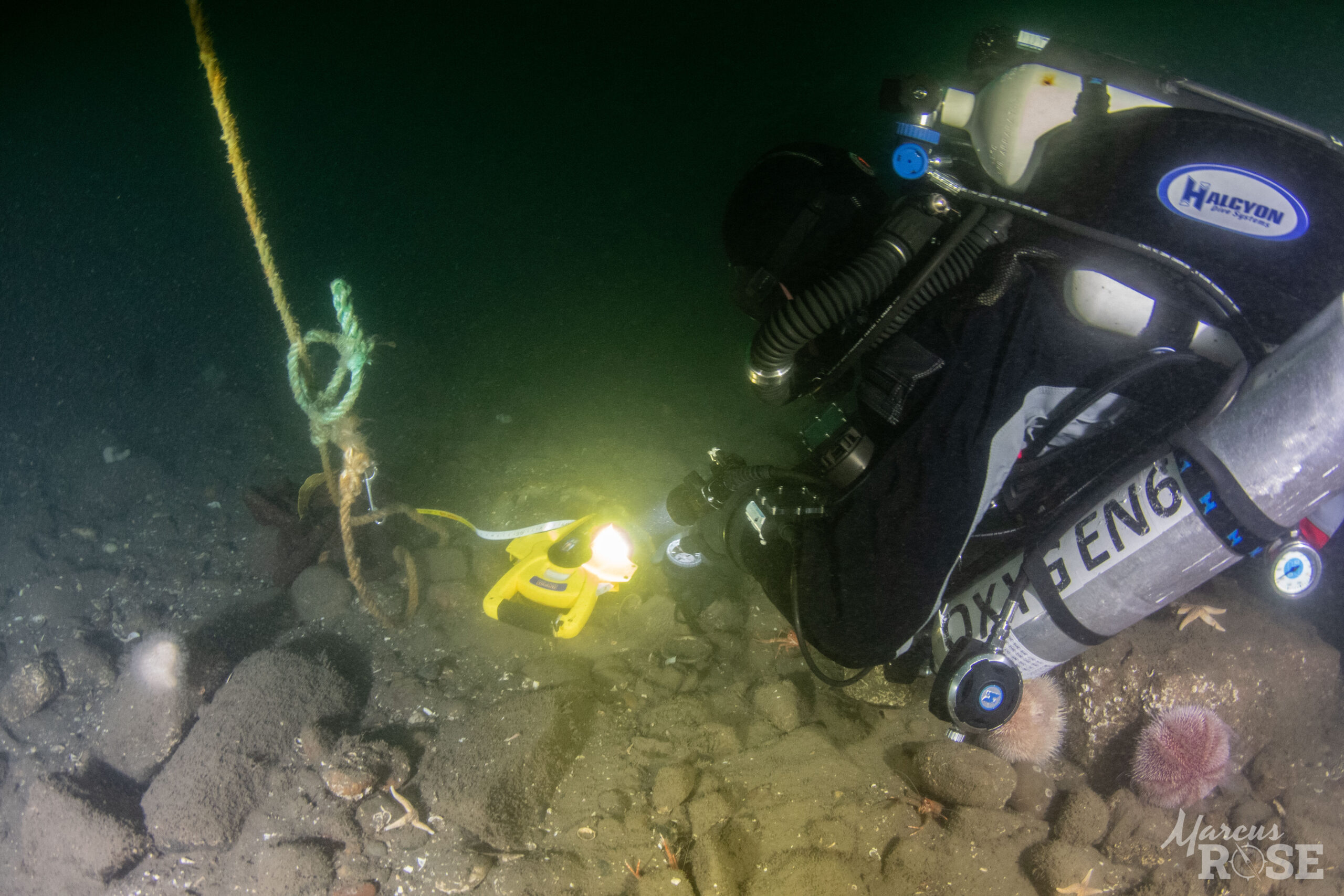
Our skilled team of divers are supporting BLUE to provide data, which is unobtainable using towed underwater video equipment. This is especially true around rocky reef pinnacles and wrecks. The reason this method would not work is because of the risk of collision between the towed body and the wrecks or rocky reefs.

SURVEYS
The Blue Marine Foundation, prior to the team’s arrival, set out the specific survey sites. With the variety of water depths surrounding the marine protected areas these sites ranged from shallow rocky reefs, in a general depth of 15m, to deeper wrecks sitting at more than 50m. Each dive team made use of high-tech underwater video equipment and diver propulsion vehicles (DPVs) to accomplish video transect of various sites. In addition to last year’s surveys the team was instructed to carry out control site transects, these were specific GPS locations located in the region of 200m from the wreck sites. The team went on to complete 2 control sites for each of the wrecks surveyed throughout the week. Each control site was given a specific bearing in which the teams were to collect the video transects and by doing so the data collection process can be repeated accurately year on year to monitor change. To aid in the future analysis of the wreck sites photogrammetry was used on some prominent features of the wrecks. Photogrammetry is a process that involves taking overlapping 2D still photographs of an object. These are then uploaded to a piece of computer software and turned into a 3D model.
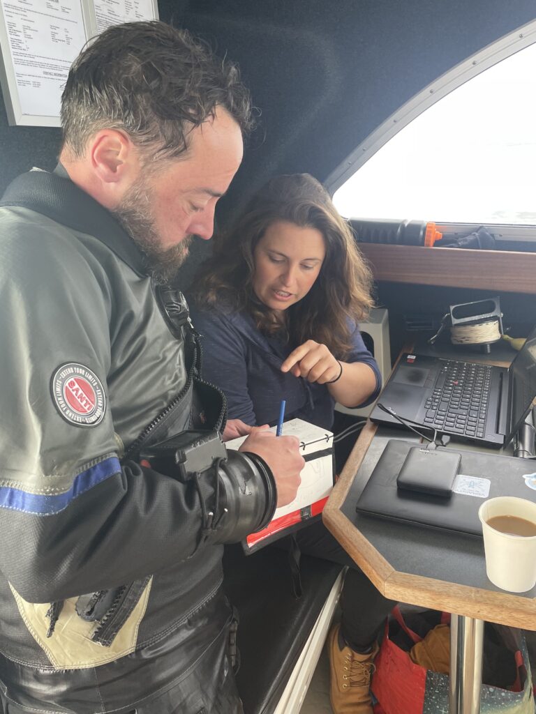
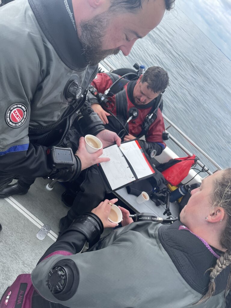
After the dives the teams helped to analyse the videos alongside two Plymouth university students. The dive teams also went on to fill out and formally document the data retrieved via the standard reporting format offered by Seasearch.
Team members also took sediment samples from a selection of wrecks throughout the course of the week. Each sediment sample consists of two small test tubes. Using a scooping motion the divers use the sample tubes to gently collect sediment from the top inch of the sea bed and repeat the motion until the tube is full. Then second tube is filled with fresh seawater from above the sediment collection site.
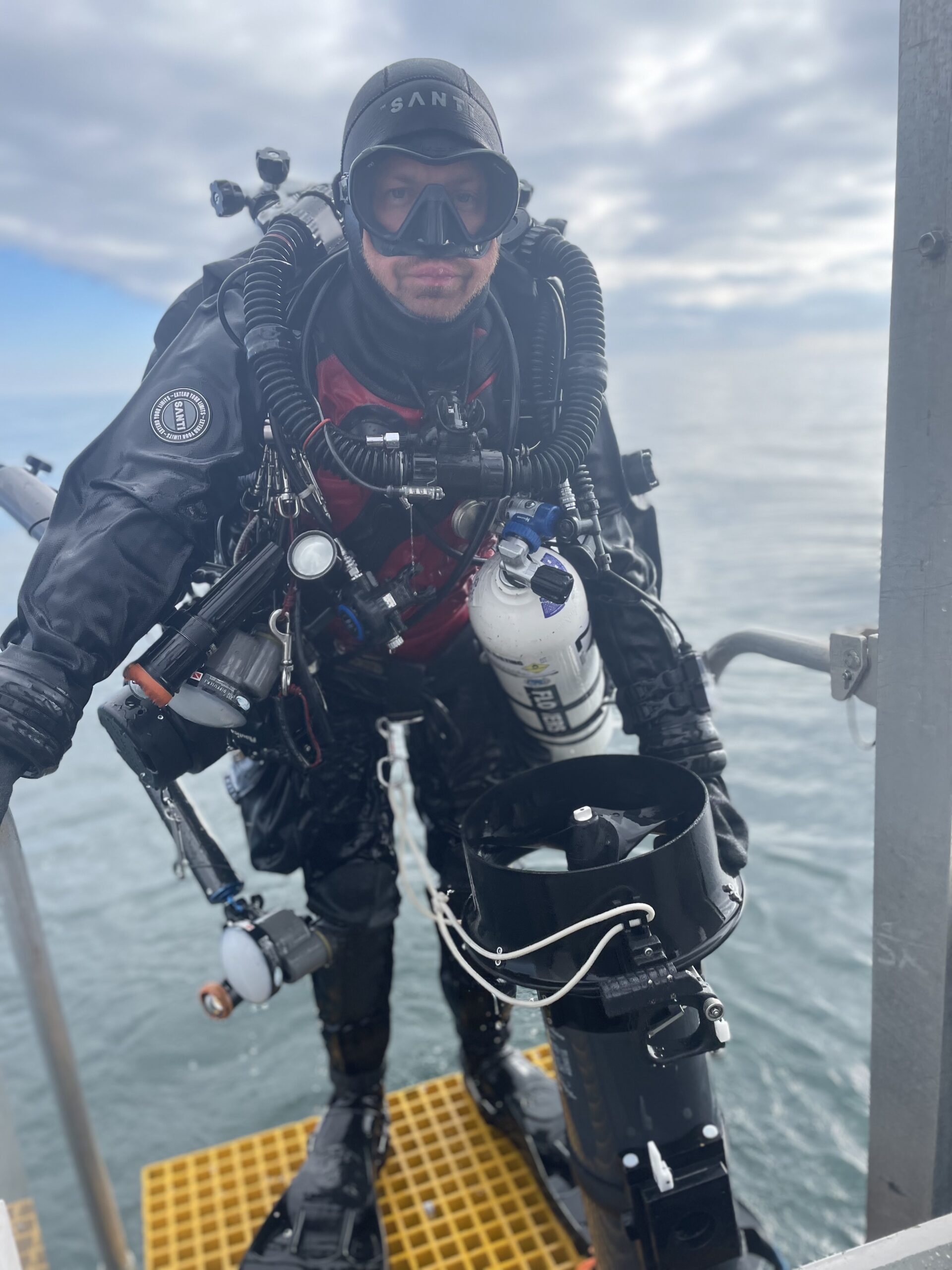
DIVE TEAM
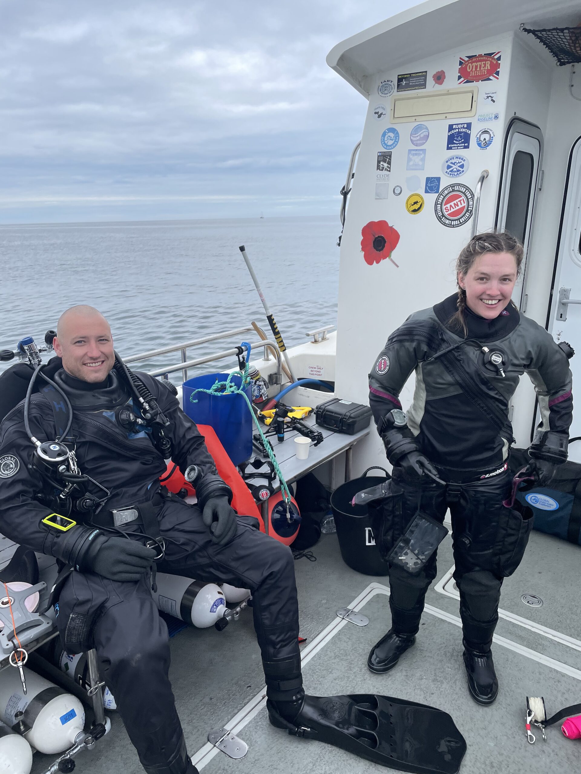
The dive team on this year’s collaboration consisted of 3 CCR divers and 6 Open Circuit divers. For some of the team this was their second year participating on the project and for others this was their first. Projects like this demonstrate the benefit of well-trained divers and the roles they can fulfill supporting scientific and conservation efforts.