Hunsfels
Project Name: Hunsfels
Country: Germany
Project Manager: Janine Mahlitz, Marvin Keiffer & Arne Schmidt
Contact: mail (at) projectbaseline-hunsfels (dot) de
Social Media: Facebook
PROJECT DESCRIPTION
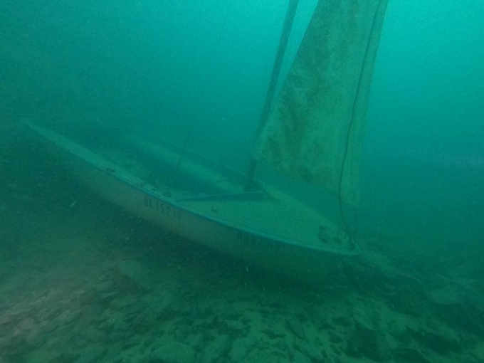
The Hunsfels is a former limestone quarry and a young body of water that was created because the groundwater vein was hit during blasting work. The 54m deep, flooded quarry then filled with groundwater and has been open to divers since March 2020. The groundwater vein is still pressing into the lake, so that conclusions can be drawn about the hinterland and the water catchment area. We would like to document the newly formed lake in the long term and collect data of all kinds: flow measurements at the springs, temperature measurements at various depths, visual measurements at various depths, development of flora and fauna, determination and morphological changes to the existing rocks and minerals due to the aquatic environment, 3D model creation and photogrammetry. We plan on documenting the change of the lake for the long term. This will be done year-round and as part of a large team. The Hunsfels is of great importance for us, because it is one of the few lakes in central/west Germany, which has not been over dived, where all different trained divers come together, no matter what level, and because of its depth it offers many diving possibilities.
HOW TO SUBMIT DATA
There are two ways to submit data to the Project Baseline database. You can submit data for existing projects, and you can submit data for projects that are not currently hosted (ad-hoc) in the database.

