Tyrrhenian Sea
PROJECT DESCRIPTION
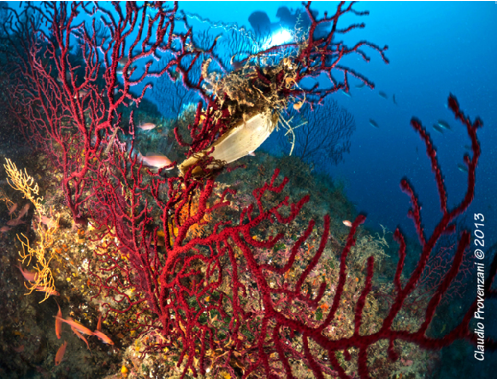
This area is a collaborative effort between Global Underwater Explorers (GUE) and BigBlueXplorers Association to document, monitor, and help in the protection of the marine habitats of the Tyrrhenian Sea. Project Baseline Tyrrhenian Sea is the collection of biological, archeological, historical, and environmental data of local marine sites over time, gathered through underwater surveys, sampling, and photographic/video tools. The project is a useful monitoring activity for the aquatic habitats through the survey of specific sites. The investigation area covers the coastal areas of the Tyrrhenian Sea from Tuscany to the north of Sicily's coast. The project started several years ago with a site in Capri, where an electricity pylon, falling into the sea, has become a suitable structure for the settlement of many benthic species and fish. A great amount of material was collected, and that has been very useful to evaluate and establish procedures for the future collection of standardized and widespread data. For each site, a data collection card is provided, together with the related information to reach it. The collection card is organized to allow the upload of the data directly from the mobile after the dive, and then successively will be validated by the project coordinators.
HOW TO SUBMIT DATA
There are two ways to submit data to the Project Baseline database. You can submit data for existing projects, and you can submit data for projects that are not currently hosted (ad-hoc) in the database.

