KONTIKI
Project Area Name: Kontiki
Project Manager Name: Noel de la Rosa
This is a Documentation Project. Data contributions from the public are welcome. For more information please use the contact information below.
Contact: info (at) projectbaseline (dot) org
Social Media: Facebook
PROJECT DESCRIPTION
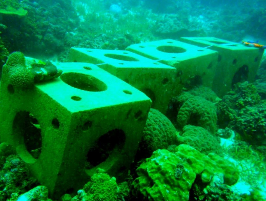
Project Baseline Kontiki is the first of its kind in the Philippines. Since 2011, we have collected periodic observation photos and essential data—such as water temperature and visibility—to track changes in the health of our precious underwater environments.
We aim to document the changes in the area by collecting basic data, such as water temperature, visibility, and site traffic.
Why Mactan-Cebu?
Cebu is unique because its dive sites are easily accessible, unlike those in many other parts of the country. As the economic center of the Visayas and the "Queen City of the South," Cebu City is the largest on the island. Among the main tourist areas are the islands of Bantayan, Badian, Malapascua, Camotes, and Mactan, where many high-end resorts are developing.
Mactan Island, just east of Cebu City, is particularly important due to its concentration of beach resorts and numerous diving opportunities, including coral reefs, underwater wrecks, and caves. Specifically, the area boasts the highest number of shore-entry dive sites in the region. This eliminates the need for expensive boat rentals, making these spots the most appealing and cost-effective choice for divers using the Kontiki area.
Cebu City's central location makes the surrounding areas among the most densely dived areas in the Philippines, as dive sites are easily accessible. PB Kontiki’s underwater surveillance documents the resulting critical changes, tracking both environmental damage and areas of recovery.
HOW TO SUBMIT DATA
There are two ways to submit data to the Project Baseline database. You can submit data for existing projects, and you can submit data for projects that are not currently hosted (ad-hoc) in the database.

